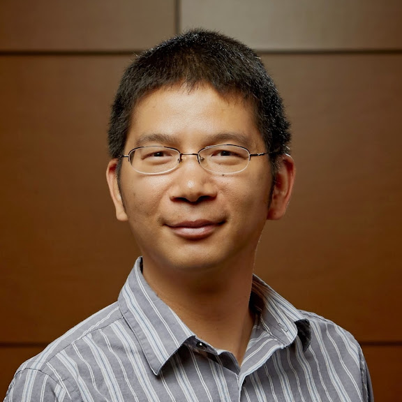
Min Xu
- 1865 8061 492
- min.mxu@gmail.com
- https://minxu74.github.io
- Knoxville, TN

I am Min Xu, an earth system modeler and staff scientist in the Computational Sciences and Engineering Division at Oak Ridge National Laboratory(ORNL). Before that, I was a climate modeler at the Illinois State Water Survey (ISWS) and worked as a research associate in the Earth System Science Interdisciplinary Center (ESSIC) at the University of Maryland (UMD), College Park.
Work Experiences
R&D Staff
Studying the biogeochemical feebacks from the changes in large scale circulations caused by climate changes.
- Terrestrial phosphorus limitation
- Oceanic drivers of CO2 variation
- Effects of ENSO-induced extremes on terrestrial ecosystems
Associate R&D Staff
Implemented a canopy air space model into CESM and studied the imapcts of ENSO on terrestrial ecosystems.
- Canopy air space model
- ENSO simulations
Research Associate
Developed the crop modeling capabilities in CWRF-CROP and modeled crop-climate interactions.
- Reengineered DSSAT maize, wheat and soybean crop growth models and implemented them into CWRF-CROP.
- Improved the photosynthesis and stomatal conductance modules.
- Improved soil nitrogen and carbon dynamics.
- Implemented three 1-D dynamic lake models into CWRF.
- Constructed surface boundary conditions for CWRF and CWRF-CROP.
Climate Modeler
Developed new features for the Climate extension Weather Research and Forcasting (CWRF) model.
- Developed a new albedo scheme based on MODIS products.
- Reengineered GOSSYM cotton growth model and established the CWRF-CROP coupled system.
- Developed an ocean mixing layer model.
- Developed an optimal cumulus ensemble scheme for precipitation simulations.
- Reengineered TUV model, validated against observations, and implemented it into CWRF.
Graduate Research Assistant
Developed a numerical dispersion model using the Monte Carlo Markov Chain random particle and puff model.
Guest Scientist
Developed a regional numerical boundary layer model to simulate the meteorological environment over urban areas and the model was used to provide credible information for policy makers in urban planning.